Geomaticx presents
GeoSphere
Intelligent Mapping for Smarter Spatial Decisions
At GeoMaticx, our GeoSphere Division is dedicated to advancing Geographic Information Systems (GIS) — empowering industries and governments with precise spatial intelligence for better planning, monitoring, and management. Through data-driven mapping, analytics, and visualization, GeoSphere bridges the gap between geography and technology — helping organizations make informed, sustainable decisions based on real-world geospatial insights.

About
GeoSphere
GeoSphere is the GIS and Spatial Analytics Division of GeoMaticx, specializing in the creation, integration, and analysis of spatial data for a more connected, efficient, and informed world. By combining cutting-edge GIS tools, remote sensing inputs, and field data, GeoSphere delivers actionable intelligence that supports land governance, infrastructure management, utilities, and environmental monitoring. We transform geospatial information into digital intelligence — fostering smarter cities, transparent land systems, and efficient infrastructure networks.


Our Expertise Spans Across
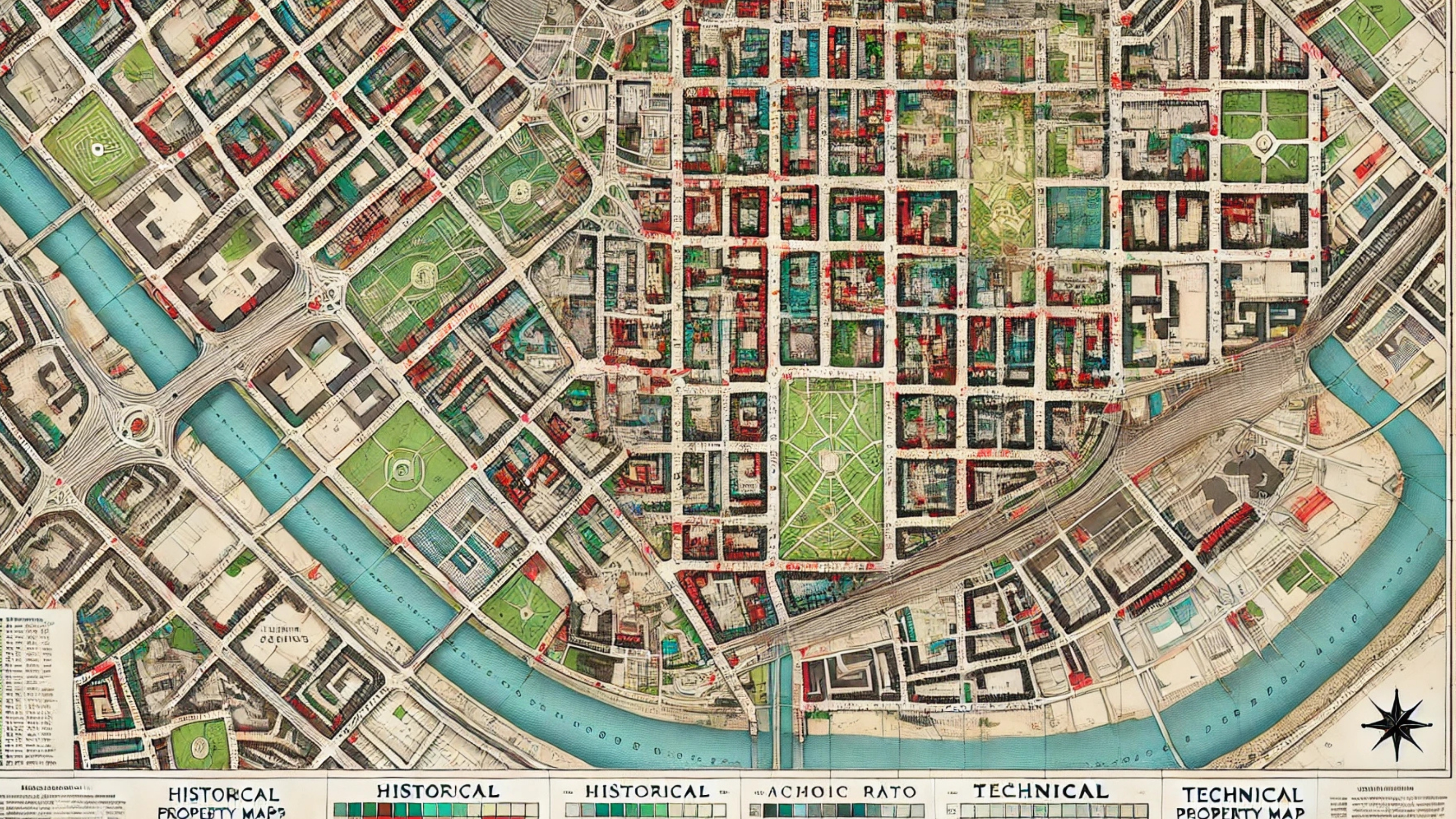
Cadastral Mapping
At Geomaticx, we deliver end-to-end cadastral mapping solutions that bring accuracy, transparency, and efficiency to land administration systems. Our services include geo-referencing, digitization, and mosaicking of land parcels, ensuring seamless integration with national and regional GIS databases. transparency and resource management
At Geomaticx, we turn satellite and aerial imagery into actionable geospatial intelligence. Our building footprint digitization service creates high-precision, spatially accurate representations of individual buildings, forming the foundation for next-generation urban mapping, planning, and analytics.
Building Footprint Digitization

Electrical
Utility
&
Network
Mapping
At Geomaticx, we deliver comprehensive electrical utility and network mapping solutions that bring visibility, precision, and efficiency to power distribution systems. Using advanced GIS technology, GPS-enabled field surveys, and remote sensing data, we create detailed digital maps of electrical networks — covering everything from transmission lines and transformers to service connections and consumer points.
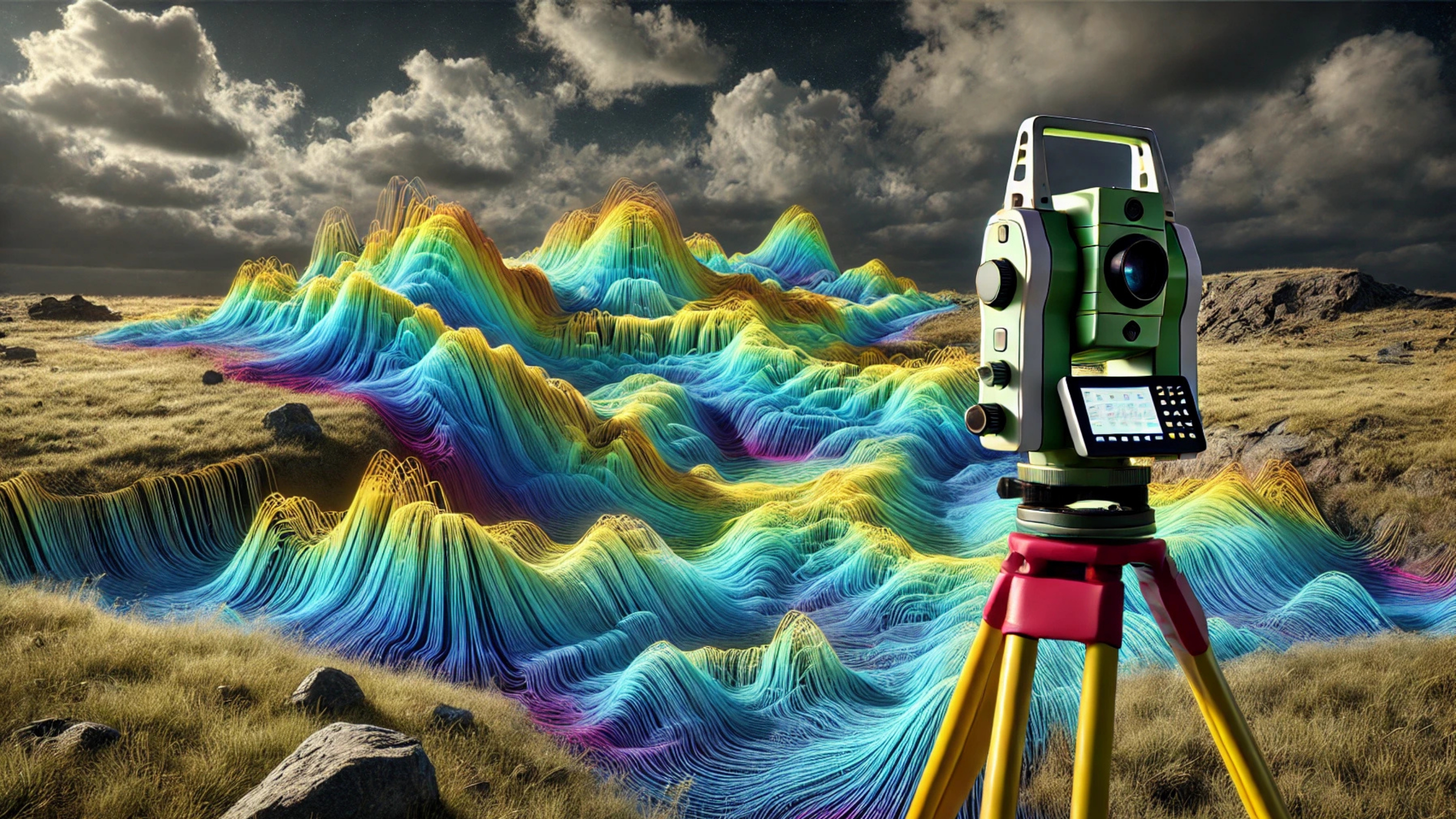
At Geomaticx, we conduct precise topographical surveys and GIS-based mapping to support irrigation planning, watershed management, and sustainable water resource utilization. By integrating GPS surveys, remote sensing data, and digital terrain modeling, we deliver high-resolution topographic maps that capture the true complexity of rivers, canals, and catchment areas.