GeoSensing presentsRemote Sensing
Precision Remote Sensing for Smarter Earth Insights.
At Geomaticx, our GeoSensing Division stands at the forefront of Remote Sensing and Geospatial Intelligence — delivering high-accuracy, data-driven insights that empower sustainable decision-making.
About
GeoSensing
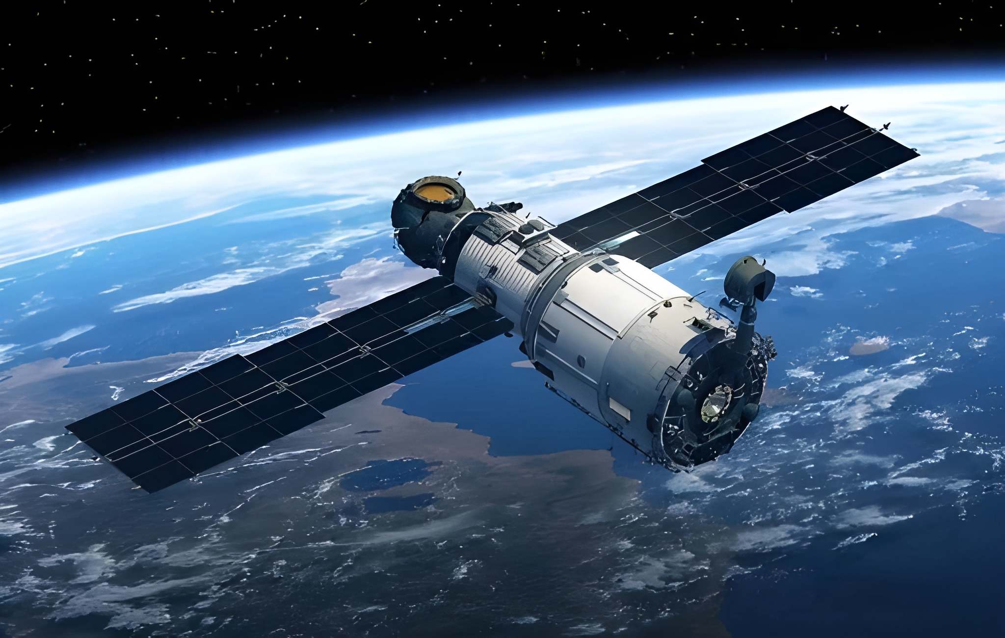
GeoSensing is the Remote Sensing and Earth Observation division of Geomaticx, dedicated to delivering high-precision geospatial intelligence for a smarter, more sustainable planet. Through advanced satellite imagery, LiDAR modeling, and environmental analytics, GeoSensing transforms complex spatial data into meaningful insights that empower agriculture, climate studies, hydrology, geology, and infrastructure planning. At GeoSensing, we bridge the gap between space-based observation and real-world application-turning imagery into actionable intelligence that supports efficient resource management, disaster preparedness, and sustainable development.
Our Expertise Spans Across
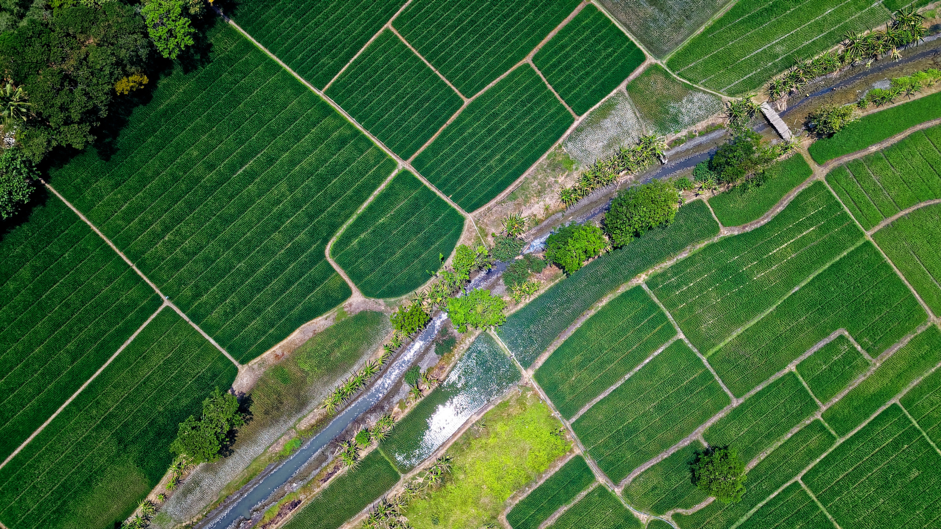
Agriculture
At Geomaticx, we deliver advanced geospatial solutions for agriculture that empower data-driven farming and sustainable land management. Using high-resolution satellite imagery and remote sensing technology, we provide accurate crop classification throughout the growing season, crop acreage estimation, and crop health monitoring with a high level of precision.
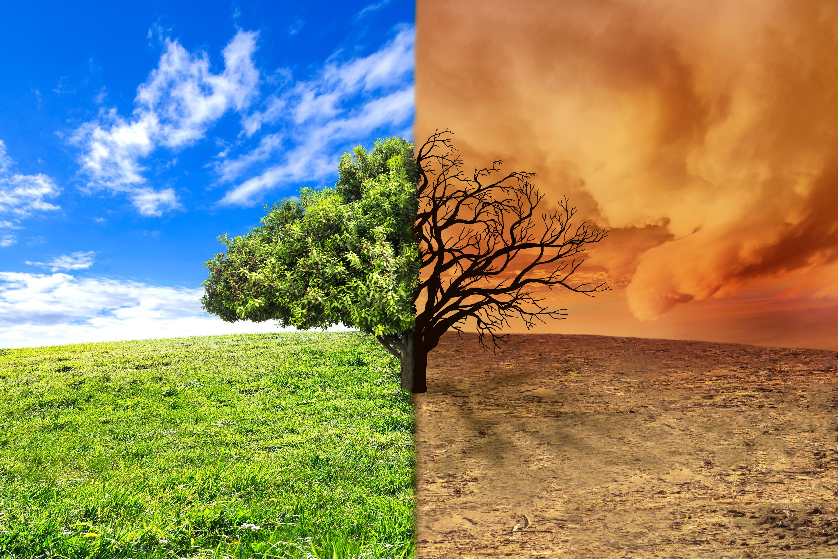
Climate & Environment
Solutions
At Geomaticx, we harness the power of geospatial intelligence to address the most pressing challenges in climate change, environmental sustainability, and natural resource management. Our solutions integrate advanced GIS, remote sensing, and spatial analytics to provide accurate insights for informed decision-making and long-term environmental stewardship.
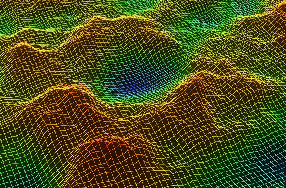
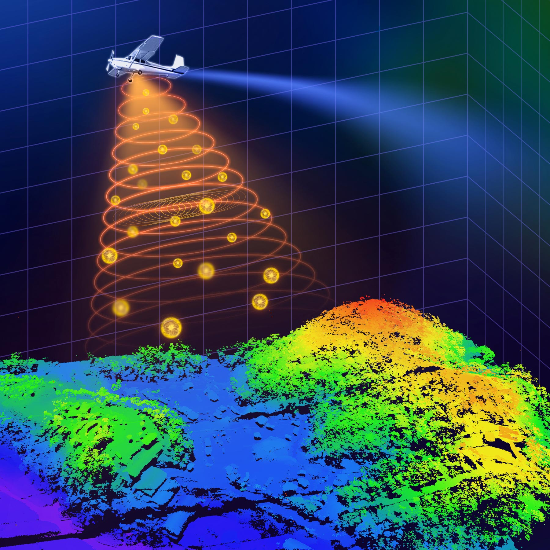
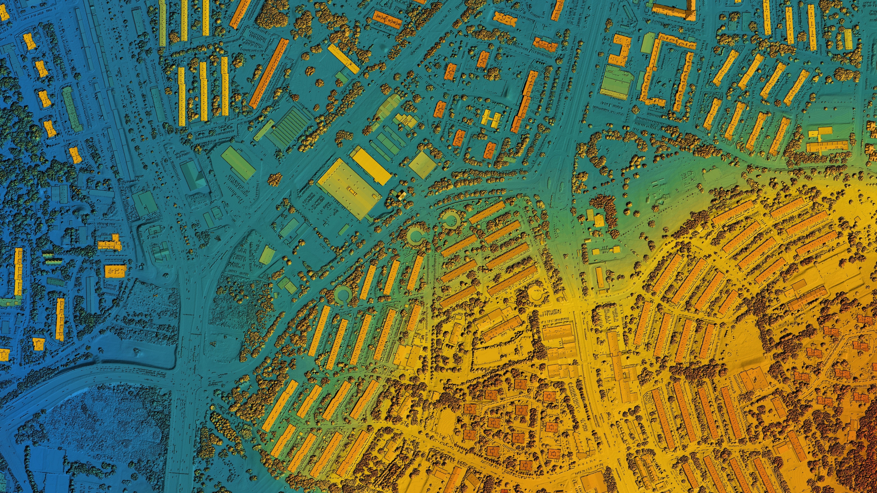
LiDAR &
Terrain
Modeling
At Geomaticx, we harness the power of LiDAR technology and advanced terrain modeling to create highly accurate 3D representations of the Earth’s surface. From data acquisition and processing to Digital Elevation Models (DEM), Digital Terrain Models (DTM), and topographic analytics, we deliver insights that bring precision and clarity to every project.
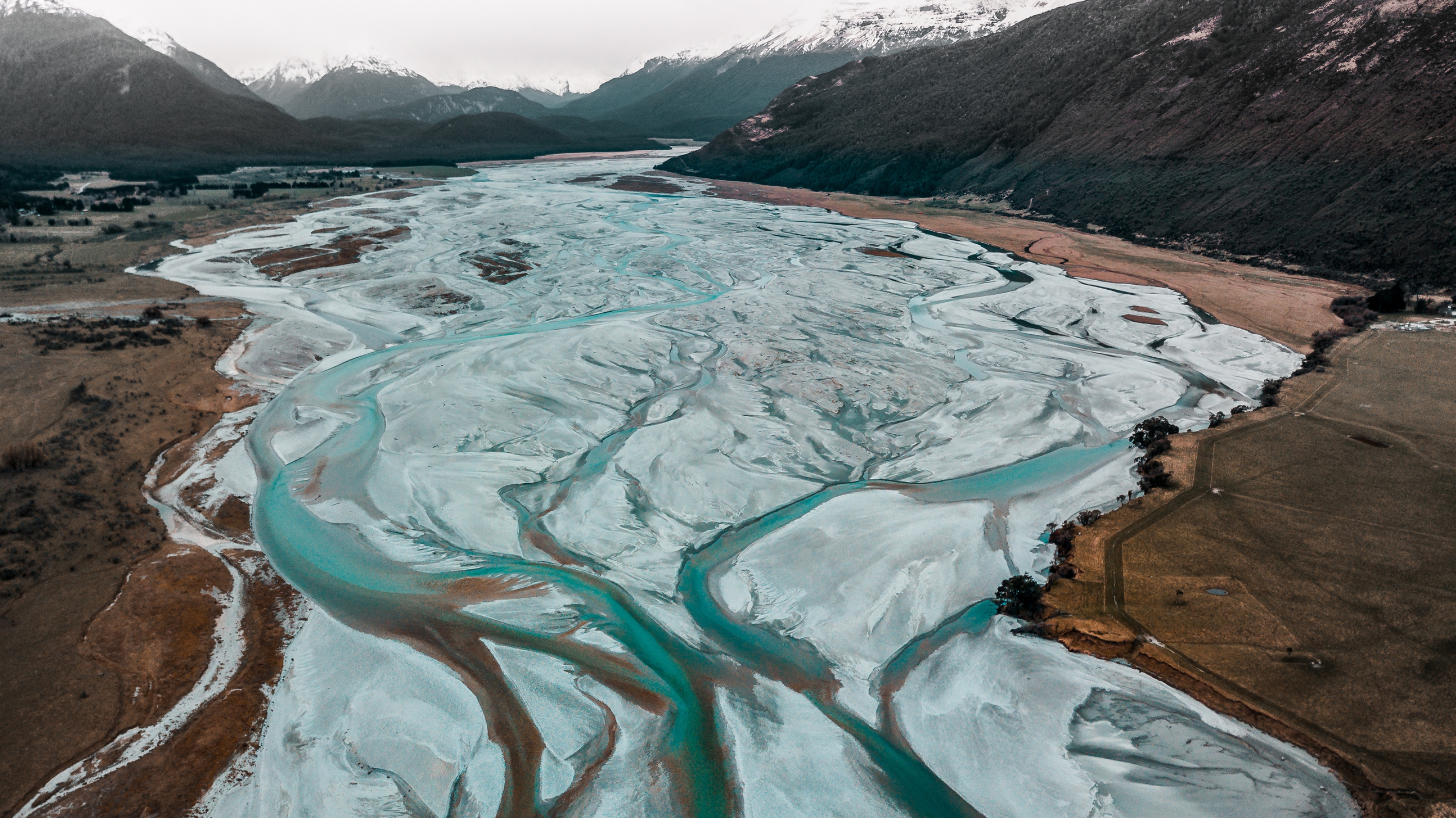
Hydrological
&
Lithological
Mapping
At Geomaticx, we specialize in hydrological and lithological mapping that provides a deep understanding of the Earth’s surface and subsurface conditions. By integrating remote sensing, GIS, and field data, we deliver actionable insights into water resources, soil properties, and geological formations — essential for sustainable land and infrastructure development.