GeoMeasure PresentsSurveying & Field Data Collection
Precision Field Surveys for Reliable Ground Intelligence
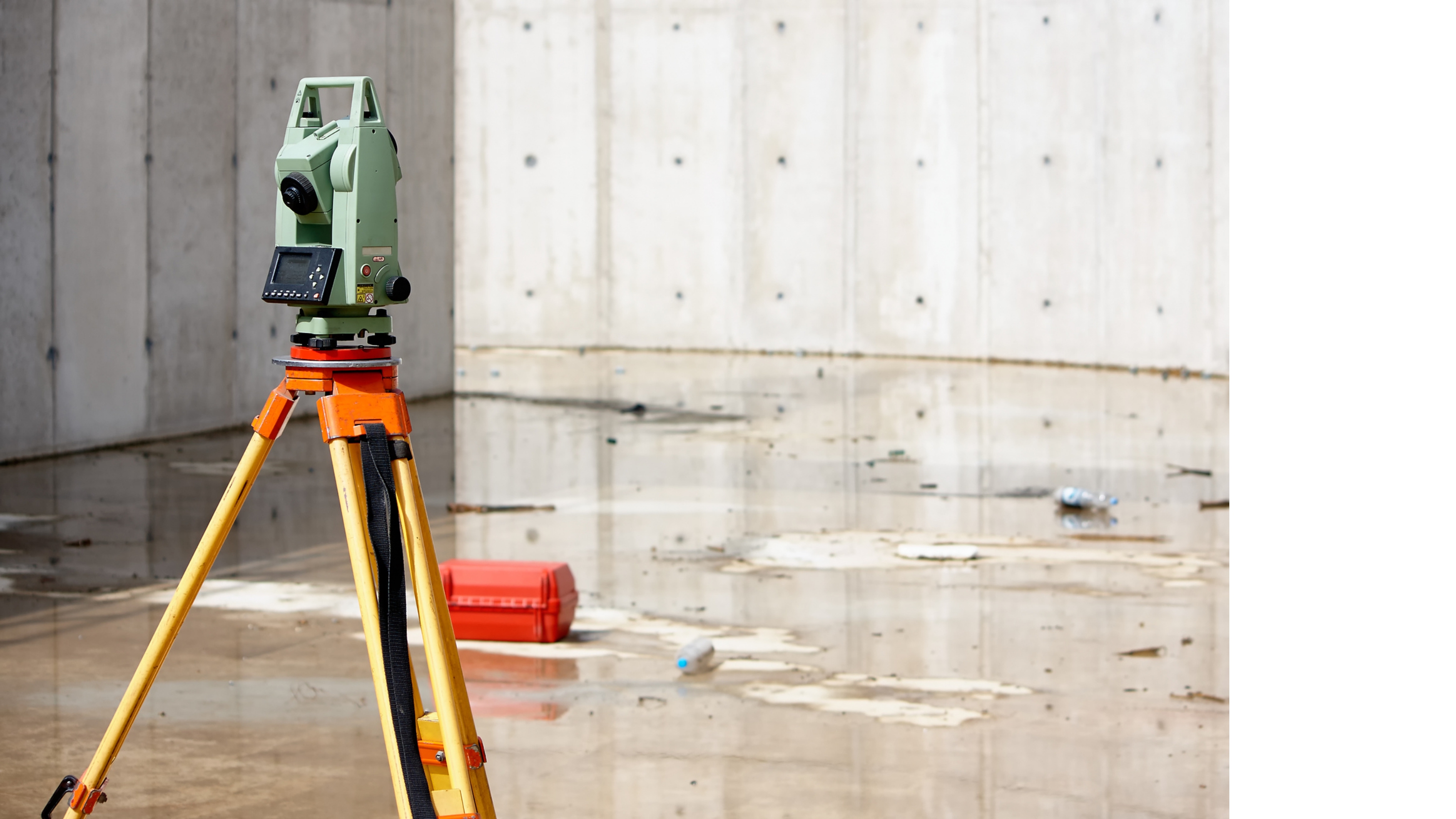
At GeoMaticx, our GeoMeasure Division specializes in Surveying and Field Data Collection, combining cutting-edge geospatial tools with hands-on expertise to deliver accurate, ground-verified data for infrastructure, irrigation, and environmental projects. Through rigorous field methodologies and digital integration, GeoMeasure ensures that every dataset collected on the ground meets the highest standards of precision, reliability, and usability.
About GeoMeasure
GeoMeasure is the Surveying and Field Operations Division of GeoMaticx, dedicated to providing high-precision ground data acquisition and on-site geospatial validation for a wide range of infrastructure, irrigation, and environmental projects. Leveraging advanced GPS/DGPS technologies, mobile-based data collection, and field-level analytics, GeoMeasure bridges the gap between on-ground reality and digital spatial systems. Our team of survey professionals, GIS analysts, and field technicians ensures that every dataset collected is accurate, standardized, and ready for integration into larger geospatial platforms. At GeoMeasure, we believe that accurate field data is the foundation of every successful geospatial solution – supporting smarter planning, resource optimization, and data-driven decision-making.


Our Expertise Spans Across

Field Training & Capacity Building
Conducted extensive enumerator training programs across multiple districts including Howrah and Bankura, ensuring accurate and consistent field data collection.
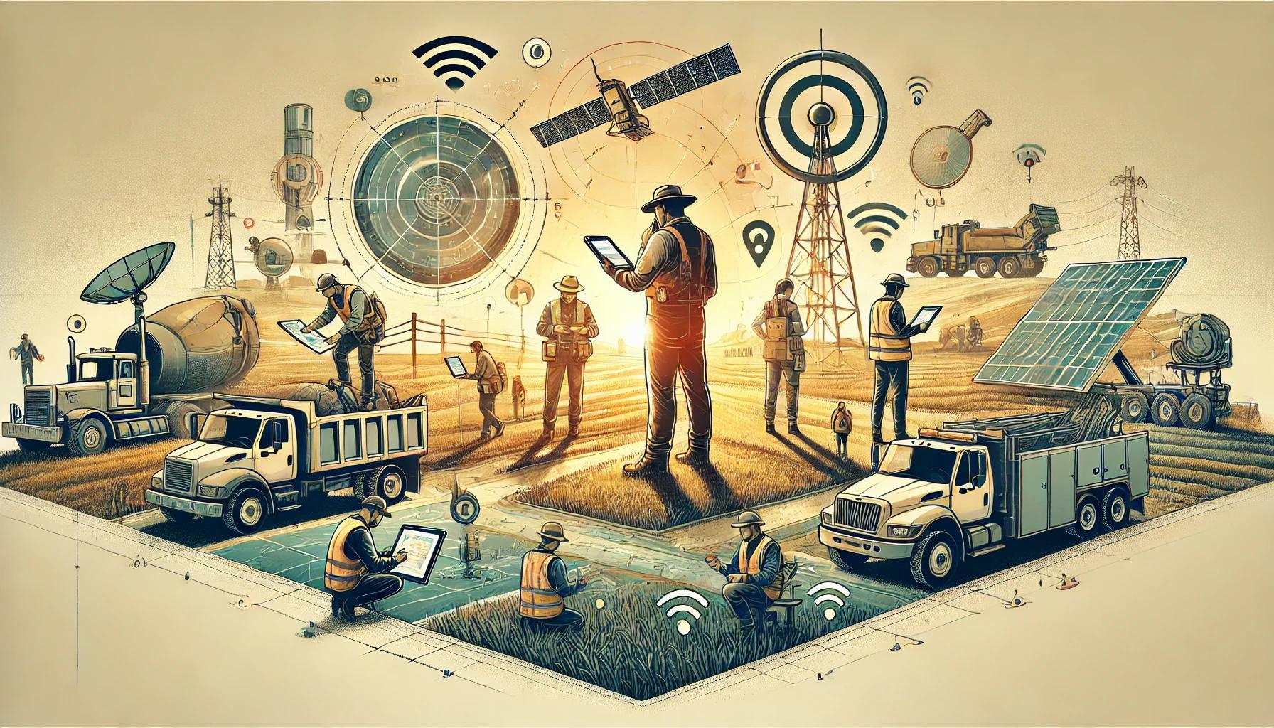
On-Ground
Technical
Assistance
Delivered hands-on field support for irrigation and waterbody data collection with strong coordination between field teams and central management units.

Digital Data Collection Enablement
Technical guidance for Android-based field applications, app-based form filling, geo image uploads, and spatial data integration workflows.
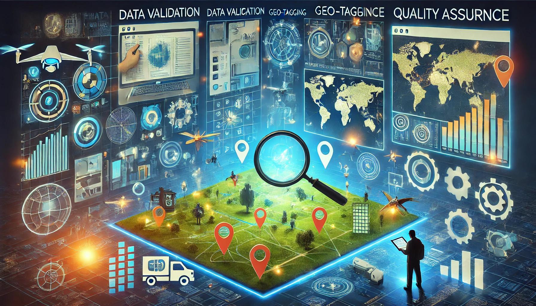
Geo-Tagging
& GPS
Data Capture
Assisted in geo-tagged image collection, GPS coordinate recording, and real-time synchronization for accurate spatial referencing.