GeoConnect presents
Web & IT Solutions
Connecting Geospatial Intelligence through Digital Innovation
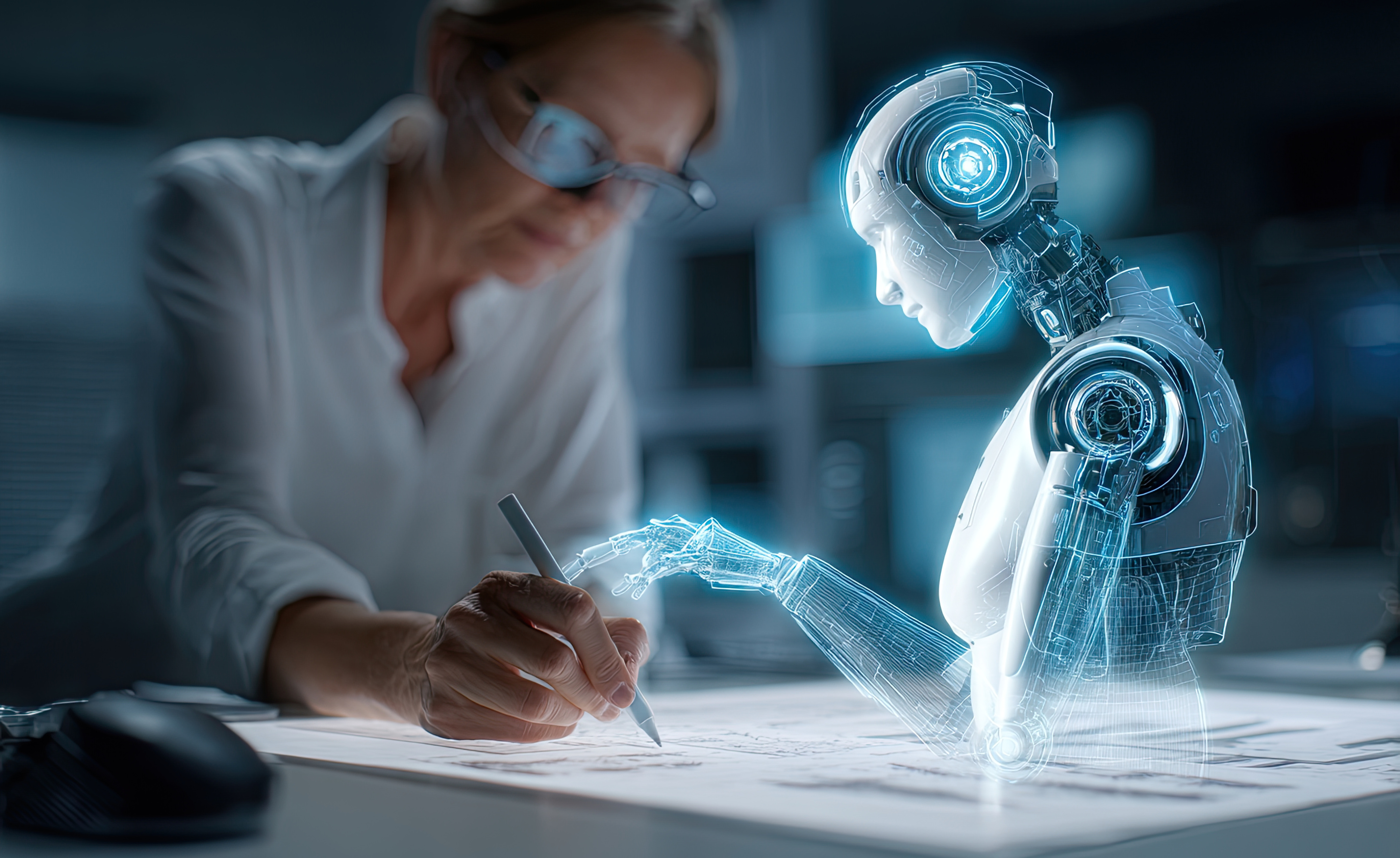
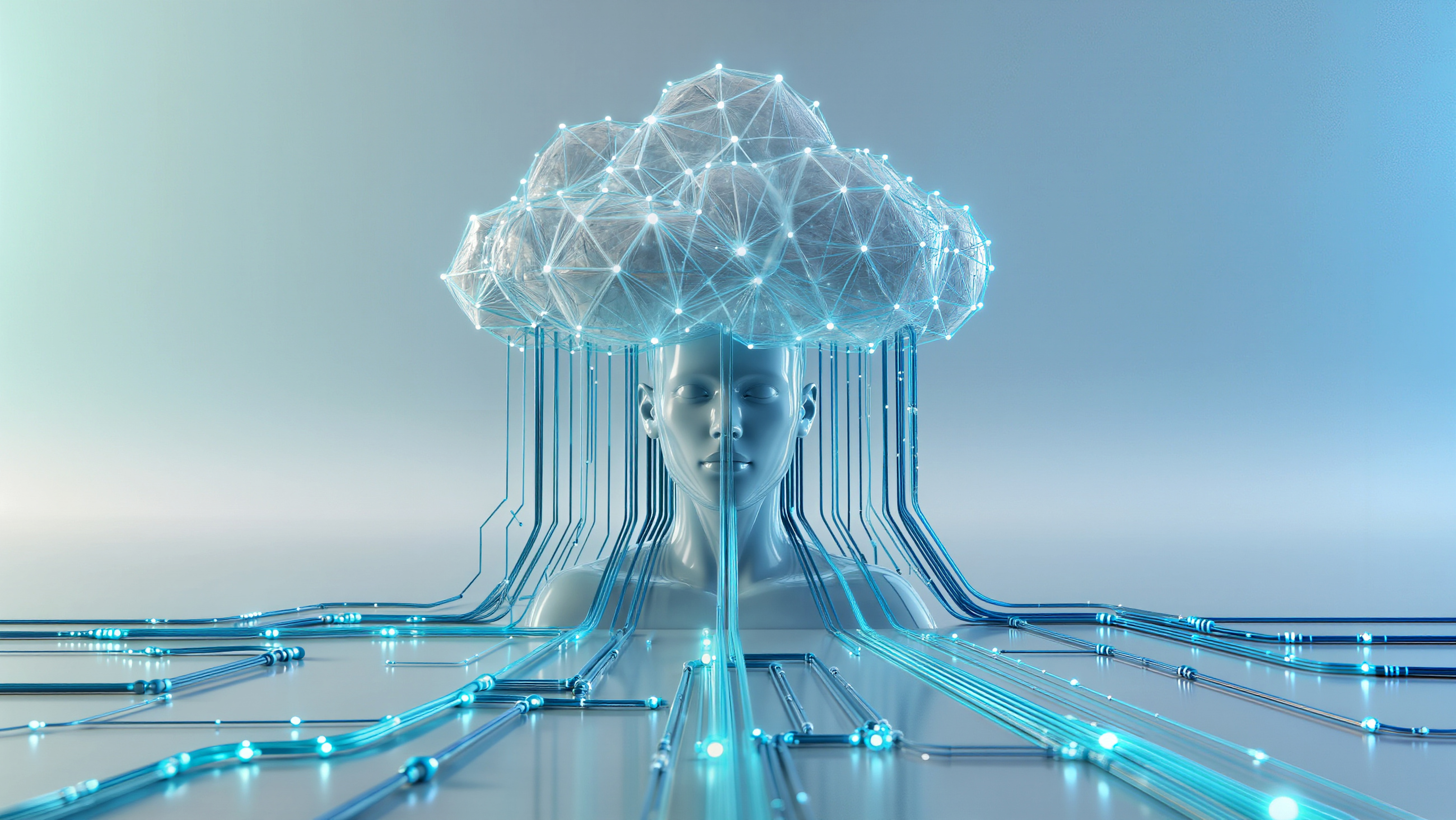
At GeoMaticx, our GeoConnect Division integrates the power of Geospatial Technology with Web, Mobile, and IT Solutions — delivering intuitive, scalable platforms for smarter decision-making and real-time data access. By combining Web-GIS, AI/ML, and IoT-driven applications, GeoConnect bridges spatial intelligence with digital transformation — empowering governments, enterprises, and communities to manage, visualize, and act on geospatial data effectively.
About GeoConnect
GeoConnect is the Web, IT, and Digital Solutions Division of GeoMaticx, focused on developing integrated geospatial platforms that connect data, people, and insights. With a focus on innovation and usability, we create end-to-end solutions that combine Web-GIS, Mobile Apps, and AI/ML Analytics to transform how spatial data is used for governance, sustainability, and business intelligence.

Our Expertise Spans Across
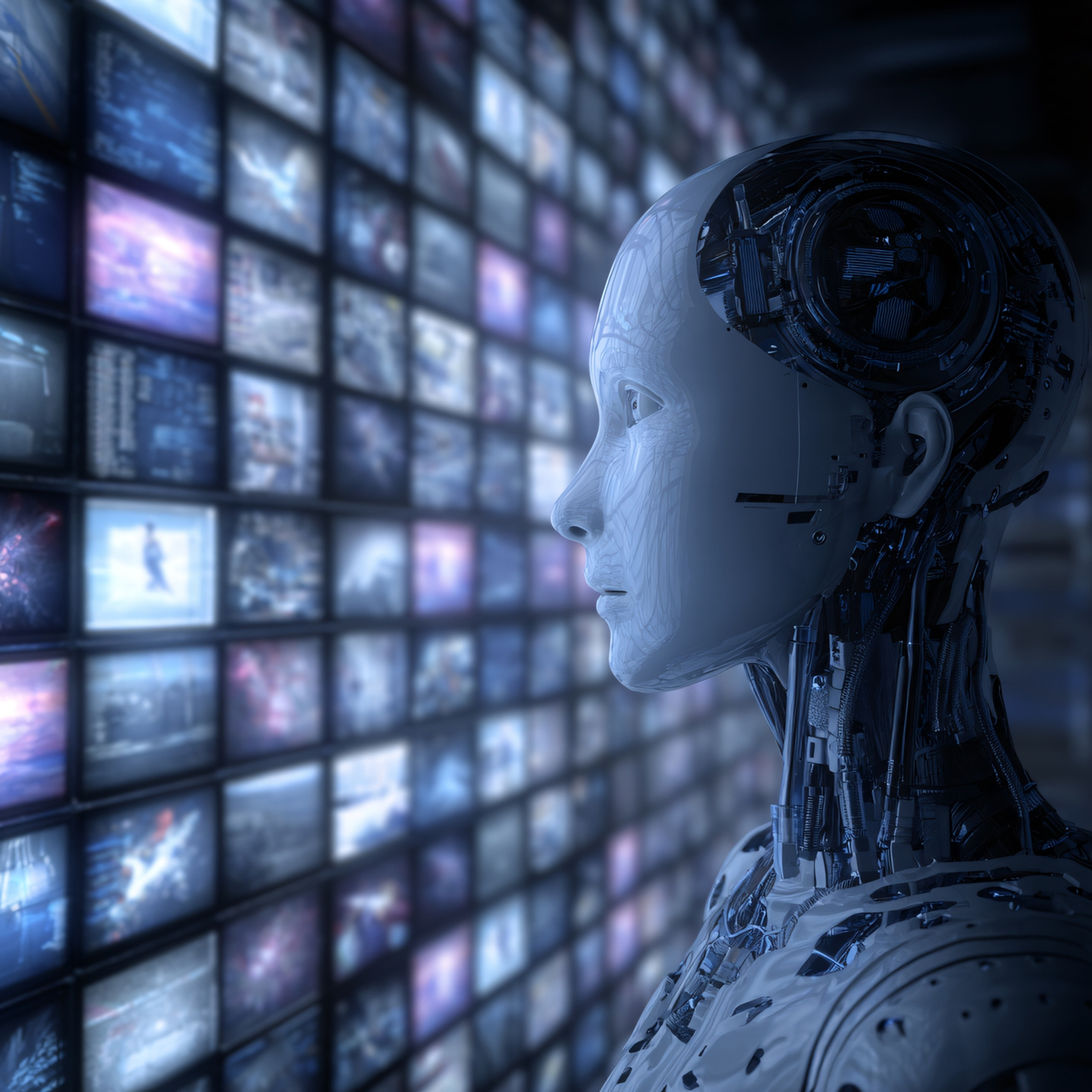
AI, ML & IoT GIS
Smart geospatial analytics using Artificial Intelligence and Machine Learning. IoT-integrated solutions for sensor-based monitoring, predictive insights, and spatial automation.
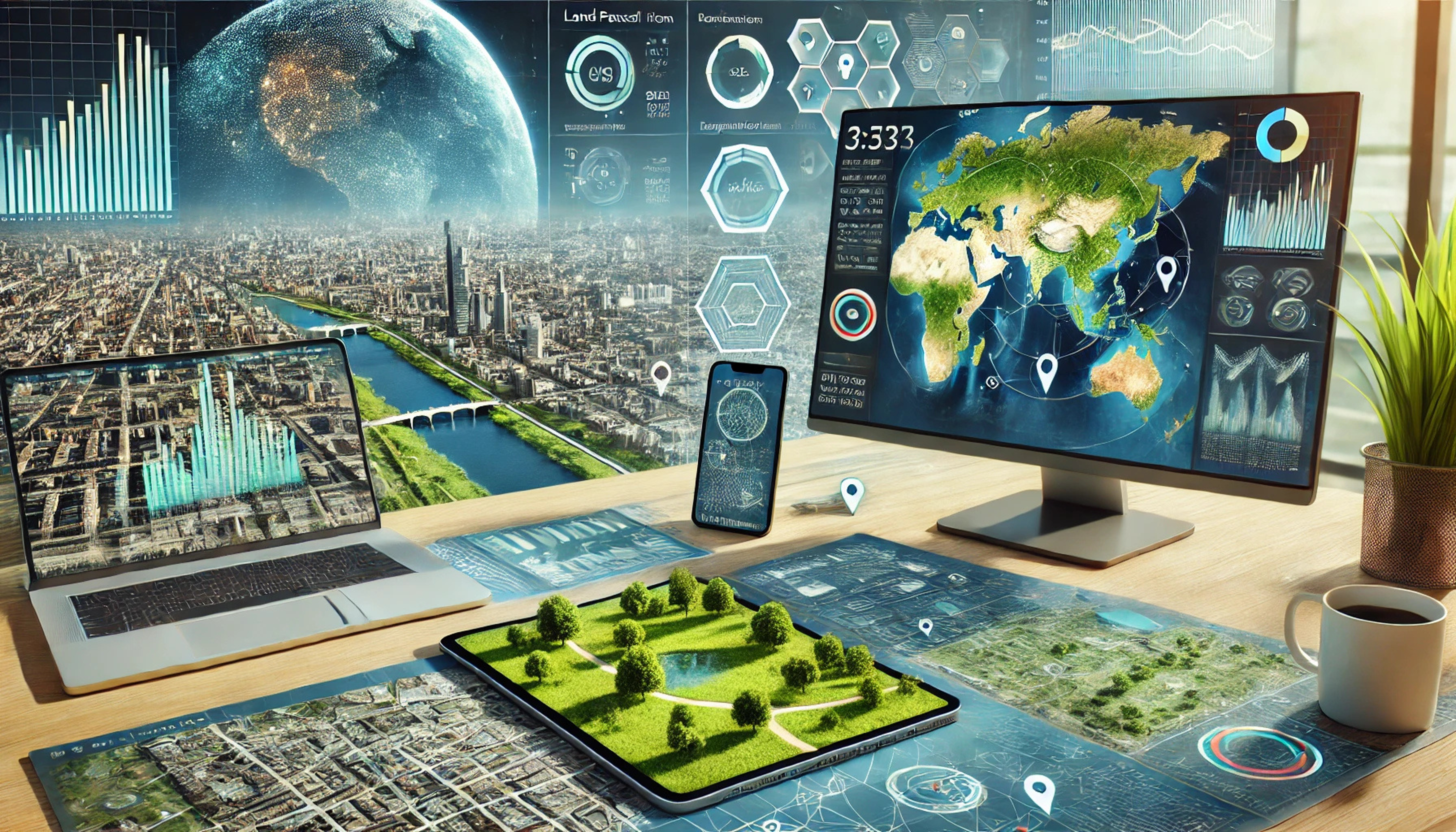
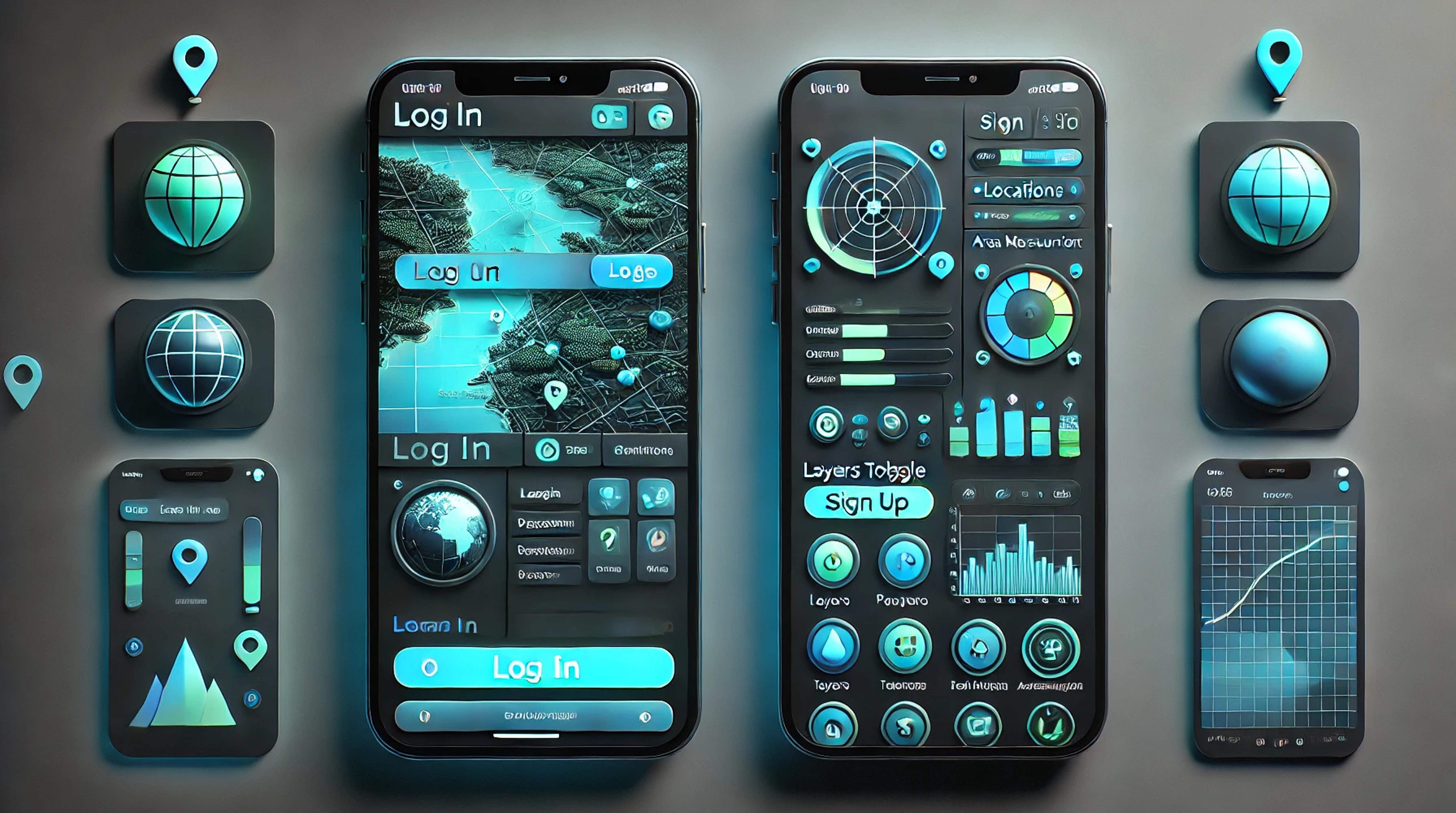
Customized
Geoportals &
Dashboards
Development of user-friendly geoportals for data visualization, field data management, and project monitoring. Tailored dashboards integrating live geospatial and statistical data.
Advanced Geospatial Analytics
Advanced spatial analytics using satellite imagery and LiDAR datasets for urban planning, environmental monitoring, and infrastructure intelligence.

Disaster
Management
Solutions
Real-time satellite monitoring, rapid damage assessment, and emergency response support enabling efficient disaster management and recovery operations.